Hot weather risks worsening
NURHIDAYAH HAIROM , SYAJARATULHUDA MOHD ROSLI , MOHD AZLIM ZAINURY , MUKHRIZ MAT HUSIN , IZWAN ROZLIN , HAZELEN LIANA KAMARUDIN
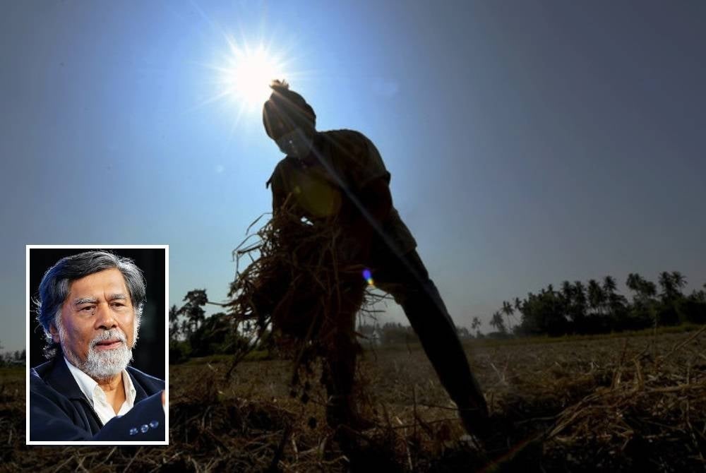
SHAH ALAM - The hot weather during the west coast monsoon expected to begin on Monday will worsen with the risks of drought, haze as well as high heat waves if El Nino occurs in the country.
The phenomenon was not only at risk of occurring in Malaysia, but also in the Southeast Asia region.
National Antarctic Research Centre Meteorologist Professor Datuk Dr Azizan Abu Samah said Malaysia was currently affected by the Southwest Monsoon winds resulting from high pressure from the Australian continent.
“The biggest issue we will face relating to the Southwest Monsoon this year was whether it would be accompanied by El Nino? If it does happen during the point of El Nino’s strongest influence the risk of drought and heat waves are high.
“However, what is dangerous is the haze where if there was an open fire on peat soil it would have the potential of spreading with thousands of hotspots like the El Nino in 2019 where we saw the bright sun for two months.
“Indonesia has issued warning in the country that it would occur," he told Sinar yesterday.
He was commenting on the Malaysian Meteorological Department’s (MetMalaysia) statement that the Southwest Monsoon was expected to begin on May 15 and continue until September.
Recently, it was reported that a strong El Nino phenomenon was expected to occur starting June when the weather condition changed due to the Southwest Monsoon which was described as a dry and hot weather.
Based on weather survey reports on MetMalaysia's website, from May to October, most international climate models showed that the atmospheric cycle in the tropics were consistent with the El Nino-Southern Oscillation (ENSO) being neutral.
However, the report stated that the neutral situation that occurred was expected to enter the El Nino phase in May to July with a probability of 62 per cent.
Azizan explained that if El Nino occurred during the Southwest Monsoon, Malaysia was expected to experience lack of rain of 10 to 20 per cent from usual.
He said the overall temperature in the country will increase by one degree Celsius.
“This will also affect the Northeast Monsoon entering in November. It will be the opposite if El Nino happens, we will get 10 to 20 per cent less rain than usual," he said.
He added that the hot weather with a maximum temperature of 35 degrees Celsius for three days in the country can be categorised as heat wave.
“The hot weather is related to whether there’s a presence of clouds. If it is cloudy, the temperature can reduce to 29 degrees Celsius. However, if it is not, the temperature can go up to 35 degrees Celsius,” he said.
So far, the highest temperature recorded in Malaysia was 40.1 degrees Celsius in Chuping, Perlis in 1998 when El Nino hit.
The normal maximum temperature now in most areas were between 31 to 33 degrees Celsius.
However, Azizan said during the Southwest Monsoon, there was a parallel storm called Sumatras starting from the Straits of Malacca and entering the west coast of the Peninsula.
“This could cause floods as what had occurred at the Subang Airport and Federal Highway 20 years ago,” he said.
Download Sinar Daily application.Click Here!


