Klang tops Selangor's flood hotspot list with 13 locations
Selangor identifies 56 flood hotspots and 232 high-risk zones as 7,677 personnel prepare for the North-East Monsoon


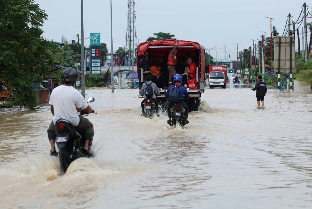
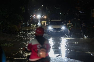
SHAH ALAM – Klang has been identified as Selangor's main flood hotspot district, with 13 locations listed as flood hotspots as the state prepares for the North-East Monsoon, which is expected to continue until March 2027.
The Selangor Irrigation and Drainage Department (DID) classifies a location as a flood hotspot if it has experienced three or more floods in the past three years.
Based on last year's baseline figures, DID identified 56 flood hotspots and 232 high-risk zones across the state.
Petaling recorded the second-highest number of hotspots at 11, followed by Gombak with 10 and Hulu Langat with nine.
Public Health and Environment Committee chairman Jamaliah Jamaluddin said the state government had mobilised its resources to ensure that agencies were prepared to respond to potential flooding.
"The state disaster management committee has 7,677 personnel from various agencies on standby.
"This operational capability is supported by 708 land vehicles, 247 water transport assets and operational equipment, including 5,739 tents, 1,950 life jackets, 141 water pumps, 48 water jets, 192 chainsaws and 20 drones for rescue, evacuation and emergency response operations," she said in a statement on Nov 4.
Selangor is expected to receive an estimated 2,232mm of rainfall in 2026.
As of Nov 1, the state had recorded 1,460mm of rainfall, equivalent to 65 per cent of its annual projection. November and December are expected to record a further 268mm and 230mm, respectively.
Jamaliah said DID's monitoring systems remained at maximum readiness, supported by 221 rainfall telemetry stations, 124 water-level telemetry stations, 140 warning sirens and 72 IP cameras to monitor conditions around the clock.
She said water flow management across the state was supported by 353 water gates and 161 fixed pump units, while 1,161 temporary relief centres had been designated to accommodate residents affected by floods.
Residents can obtain real-time updates on rainfall, river levels, flood forecasts and warning sirens through the official Public InfoBanjir JPS Malaysia and Selangor DID portals.
The public can also use the myCuaca 3.0 mobile application for location-based weather updates.
State authorities have advised residents to remain vigilant, prepare family emergency bags, avoid driving through flooded roads and comply with official evacuation instructions.
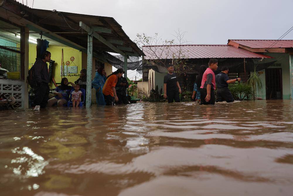
The 56 identified flood hotspots in Selangor are distributed across eight districts, with Klang recording the highest number.
Klang:
- Kampung Rantau Panjang
- Kampung Jalan Kebun, including Taman Bunga Raya, Taman Hijaz, Jalan Bakri, Jalan Haji Tahir, Jalan Kampung Lombong and Jalan Kebun Tambahan
- Taman Melawis and Taman Teluk Pulai
- Taman Rashna
- Taman Maznah
- Taman Sri Muda
- Kampung Bukit Kapar, covering Jalan Seri Jaya, Jalan Sebaya, Jalan Kempas and Jalan Bukit Payung
- Kampung Bukit Naga
- Taman Bukit Kemuning, particularly Jalan Bukit Rimau
- Pekan Meru, including Jalan Meru Batu 6, Jalan Chempaka, Taman Daya Meru, Taman Daya Maju, Persiaran Hamzah Alang, Jalan Salleh, Jalan Kassim and Jalan Kasban
- Taman Sri Mewah
- Taman Palm Grove and surrounding areas such as Taman Bayu Perdana, Taman Chi Liung, Taman Selatan, Taman Petaling Indah, Tengku Ampuan Rahimah Hospital, Tengku Ampuan Rahimah Secondary School and Simpang Lima Primary School
- Pulau Indah, covering Kampung Sungai Pinang, Kampung Sungai Kembong and Sungai Daun
Petaling:
- Kampung Tengah Puchong
- Kampung Budiman
- Kampung Kubu Gajah
- Kampung Kuala Sungai Baru
- Kampung Melayu Subang
- Section 13, Shah Alam
- Kampung Baru HICOM Section 26
- Jalan and Kampung Kebun Bunga
- Kampung Padang Jawa
- Kampung Paya Jaras Hilir
- Kampung Seri Aman in Puchong, including Jalan Bistari and Lorong Bistari 1, 2 and 3
Gombak:
- Kampung Sungai Chinchin
- Kampung Sungai Kertas
- Kampung Melayu Sungai Buloh
- Kampung Arab Taman Seri Selayang
- Taman Rahmat Jaya
- Jalan 23, 21 and 62 in Selayang Baru
- Pekan Rawang's Jalan Maxwell
- Taman Melawati's Jalan J1
- Hulu Kelang Primary School
- Kampung Cempedak Kuang
Hulu Langat:
- Kampung Dusun Tua Batu 16
- Kampung Dusun Tua Batu 17
- Kampung Jawa Batu 18
- Kampung Sungai Serai
- Kampung Batu 10
- Taman Semenyih Indah
- Kampung Pasir Semenyih
- Kampung Batu 20 Sungai Lui
- Laman Gahal Batu 14
Kuala Selangor:
- Kampung Sri Aman
- Kampung Jaya Setia
- Perumahan Seri Alam
- Perumahan and Taman Saujana Aman
- Laluan FT005
- Jalan Derahman and Zazuli in Kampung Bukit Hijau
Hulu Selangor:
- Kampung Seri Cahaya and Kampung Sentosa
- Kampung Sekolah and Kampung Selisik
Kuala Langat:
- Jalan Perepat in Taman Dato' Hormat
- Kampung Sri Cheeding, covering Jalan Bukit Kecil and Jalan Desa 6 Kemandol
Sepang:
- Kampung Sri Tanjung
- Kampung Orang Asli Sungai Melut
- FT29/FT32 intersection
Download Sinar Daily application.Click Here!