Malaysia may face brief La Nina — What does it mean for the country?
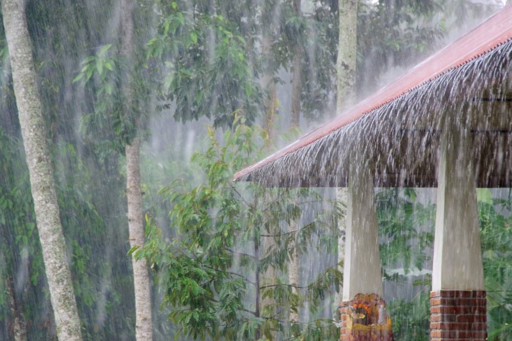
While El Nino often brings drier conditions to Malaysia, La Nina typically results in heavier rainfall, prolonged wet seasons and increased flood risks.

SHAH ALAM – La Nina is part of the wider El Nino–Southern Oscillation (ENSO) cycle, characterised by cooler-than-average sea surface temperatures in the central and eastern equatorial Pacific Ocean.
While El Nino often brings drier conditions to Malaysia, La Nina typically results in heavier rainfall, prolonged wet seasons and increased flood risks.
However, its impacts are not uniform. Coastal states, hilly terrains and low-lying towns face different challenges, ranging from flash floods to landslides and crop damage.
A brief La Nina in 2026?
The Meteorology Department’s (MetMalaysia) National Climate Centre has projected that Malaysia may experience a short La Nina episode in early 2026, which could alter rainfall distribution before conditions stabilise.
Its long-term outlook from September 2025 to February 2026 shows most international climate models predicting that ENSO will remain neutral, with a 56 per cent chance of continuing until October 2025.
“According to a consensus of several climate models, global phenomena influencing current weather conditions in Malaysia, such as ENSO, the Madden-Julian Oscillation (MJO) and the Indian Ocean Dipole (IOD), were also considered.
Most models indicate the current ENSO is neutral, with the Oceanic Nino Index (ONI) recorded at -0.1°C for May, June and July 2025,” the department said.
Based on these forecasts, the department said a short La Nina may emerge at the start of 2026, influencing rainfall patterns across Southeast Asia, including Malaysia.
Current conditions: Southwest Monsoon’s final stretch
Malaysia is currently in the last phase of the Southwest Monsoon, which is expected to end by late September.
“The prevailing southwest winds are causing low humidity, reducing cloud formation and rainfall in most states,” the department explained.
This has led to more dry days than wet days, heightening concerns over localised and transboundary haze if open burning continues.
Despite the drier weather, thunderstorms remain a threat, especially in the western Peninsula, northern Sarawak and western Sabah. These typically occur in the early morning, triggered by storm lines — clusters of thunderstorms formed by converging winds that can last for hours.
Forecast models indicate that strong westerly winds between Sept 22 and Sept 25 could generate storm lines, bringing heavy rain and strong winds to northern Sarawak, western Sabah and Labuan.

Authorities have urged the public to stay alert and monitor weather warnings.
What La Nina could mean for Malaysia
If La Nina develops in early 2026, possible impacts include:
- Heavier monsoon rains – Potential flooding in Kelantan, Terengganu, Pahang and parts of Sabah and Sarawak.
- Landslides and infrastructure risks – Particularly in highland areas and urban centres with poor drainage.
- Agricultural disruptions – Crops such as paddy, oil palm and rubber may be affected by waterlogging and pests.
- Storm surges and coastal flooding – Especially along the east coast during peak monsoon tides.
Preparing for an Unpredictable Future
With reports indicating that climate change is intensifying weather extremes, Malaysia’s wet seasons might be wetter and its dry spells harsher.
Even a brief La Nina could ripple across the country, affecting floods, agriculture, public health and air quality.
For Malaysians, the advice remains simple: stay alert, avoid risky practices like open burning and take precautions against sudden storms.
Download Sinar Daily application.Click Here!


