5.2 magnitude earthquake detected in Bali Sea, Indonesia
It was located 194 kilometres northeast of Mataram, Indonesia.
18 Aug 2026 09:00am

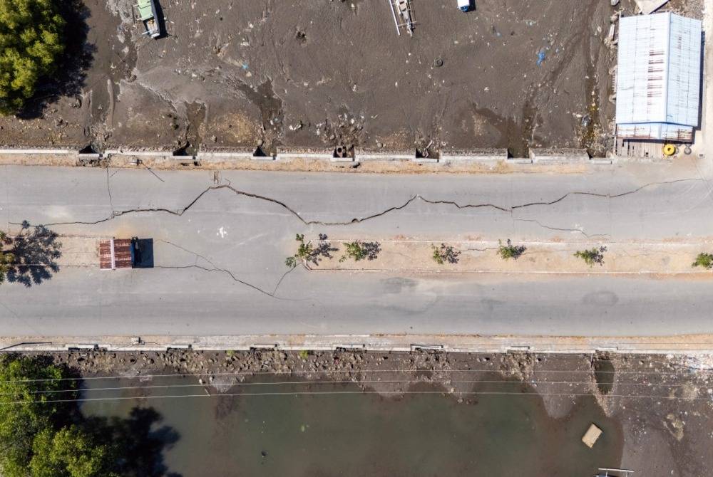
This aerial photo shows cracks in a road in Marapokot, Nagekeo, East Nusa Tenggara, on Aug 17, 2026, following a 7.7-magnitude earthquake. - (Photo by JUNI KRISWANTO / AFP)
KUALA LUMPUR - A moderate earthquake with a magnitude of 5.2 was detected in the Bali Sea, Indonesia, at 2.10 am today.
In a Facebook post, the Malaysian Meteorological Department (MetMalaysia) reported that the quake was centred at coordinates 7.2° south and 117.2° east, at a depth of 499 kilometres.
It was located 194 kilometres northeast of Mataram, Indonesia.
However, there was no tsunami threat to Malaysia. - BERNAMA
Download Sinar Daily application.Click Here!