Perak government to maximise use of GIS data

IPOH - The Perak government will maximise the use of the Geographic Information System (GIS) in making any decisions or formulating policies in line with the development of digitalisation.
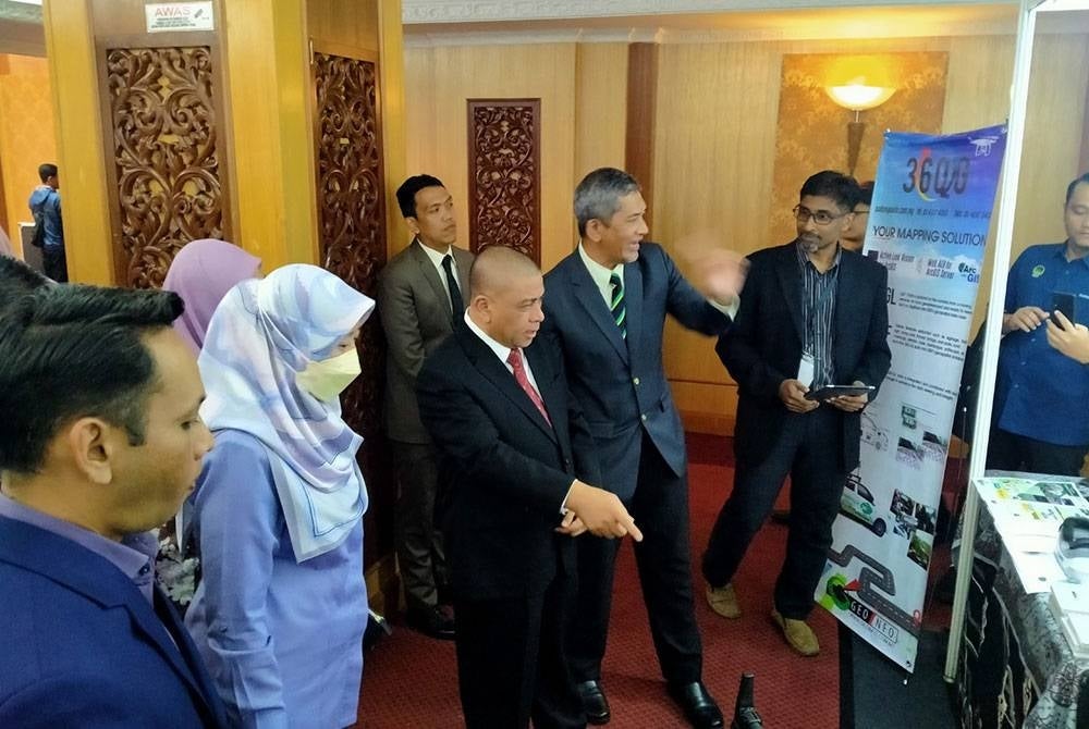
Perak Menteri Besar Datuk Seri Saarani Mohamad said the system will not only help the state government in formulating policies but also in development planning, making decisions, monitoring and law enforcement.
"We welcome the challenge to develop more GIS technology-based systems and applications to help further boost development in the state.
"I hope all agencies will use the GIS more widely because it will bring changes in terms of a more efficient administrative management,” he told a media conference after officiating the Perak State Geospatial Aspiration 2023 programme at the Banquet Hall of Bangunan Perak Darul Ridzuan today.
Saarani said the PerakGIS Unit comes under the state Economic Planning Unit (UPEN), which is responsible for coordinating and developing a geospatial database of agencies in the state government.
"I recommend all agencies to take advantage of the services provided by PerakGIS and welcome the sharing of data by agencies to further strengthen the provision of geospatial database in the state.
"We want this technological coordination. For example, previously we have JKR carrying out digging works and then JKR will cover it up, then a few months later Telekom will do the same thing, followed by TNB.. this is because we did not have a uniform system,” he said.
He said the system will be used in infrastructure development, management of natural resources and environment, land management and disaster management.
"The UPEN PerakGIS Unit has managed to develop a Geobencana (Geodisaster) application, which is a digital disaster regulatory reporting for the use of the Perak State Disaster Management Committee.
"This application can have a significant impact on the efficiency and effectiveness of disaster management, especially floods, due to its real-time nature and can be accessed through smartphone devices,” he said. - BERNAMA
Download Sinar Daily application.Click Here!


